Shop

  • High Performance with Atlas® Capability

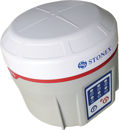
    Stonex S10A is the latest Stonex GNSS receiver characterized by a new feature that enhance the performances and potential of the field surveys.
    Thanks to aRTK function and service of Atlas® correction, Stonex S10A is able to work in particularly difficult areas.
    Atlas® gives the precise positioning centimetres around the world and delivers world wide centimetre level correction data over L-band communication satellites and over internet.
    S10A Receiver is equipped with all important connectivity capabilities, including Bluetooth and Wi-Fi modules, for a fast and stable connection to controller and PC. With radio and the internal GSM is possible to transmit and receive real-time corrections easily and fast.
    You can measure the points quickly without the perfect verticality of the pole. The receiver can automatically record the positioning data when the electronic bubble detects the correct level, with no action required by the operator.

  • High Precision Antennas for all field survey works

    Stonex family of GNSS antennas is designed to enhance and support the performance of Stonex precise positioning receivers. The antennas receive GNSS multi-constellation signals. Each antenna is built to withstand various application and surveying needs.

    The Stonex antennas can be used in land survey, marine survey, channel survey, seismic monitoring, bridge survey, container operation and agriculture applications.

    They have high gain and wide beam width to ensure the signal receiving performance of satellite at low elevation angle. The phase center of these antennas remains constant as the azimuth and elevation angle of the satellites change. Signal reception is unaffected by the rotation of the antenna or satellite elevation, so placement and installation of the antenna can be completed with ease.

  • Install a DSLR camera to apply high resolution images to your scans

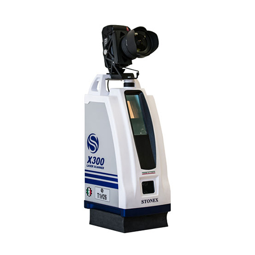
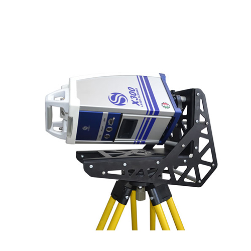
    Calibrated camera adapter designed to obtain photorealistic scans and meshes. The adapter allow to install on X300 a Reflex camera and to control it automatically with the scanner, which will use it instead of the internal cameras.

  • Auto / Digital Levels

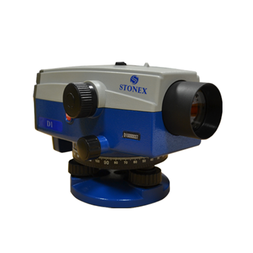
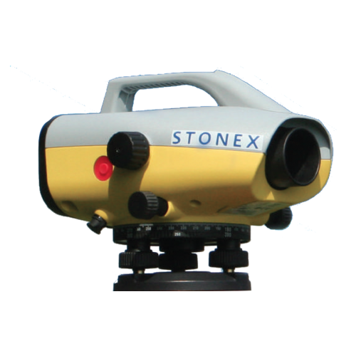
    STONEX D1 digital autolevel is the recommended leveling instrument for contractors, builders, professionals land surveyors and Engineers who demand accurate leveling every time. The accuracy of ± 1.5 mm on a base of 1 Km – double run – makes STONEX D1 the perfect equipment for the 3rd order leveling and for construction industry. Faster automatic measurements – difference in height and distance – are digitally determined: the fully electronic measurement results appear in the clearly visible display window after less than 2 seconds.

  • Software Office Solutions
    Entirely designed and developed by the Stonex R & D department, Ntrip-caster is the ideal software for GNSS NTRIP network management.

    DESCRIPTION
    It’s perfect integration with the SC200 makes Ntrip-caster the essential tool for everyday’s work. Ntrip-caster gives the user an intuitive and powerful interface. It is an excellent server program to manage  CORS stations in an autonomous and independent way; to transmit a single-base correction to multiple rover users, to manage them simultaneously and at any time in a reliable and efficient way.
    Ntrip-caster offers the opportunity to the network administrator to monitor and limit users’ access in real time. Combining with SC200 CORS the software allows users to download data through FTP server, to create a new network or to strengthen an existing one.

  • Cube-manager

    Cube-manager has been developed to work on desktop computers running Microsoft Windows and it implements the tools to download, to manage and to process the data acquired with one of the mobile solutions.
    Using this software, you can integrate mixed GNSS RTK and Total Station data, process Raw GNSS data in different ways, import and export the data from and to the most popular known formats.
    This software will help operators providing the best functions for data transferring, graphical visualization and analytical data processing.
    The software is composed of various optional modules and a free version (Cube-link).
    Cube-manager is a software for managing data from GNSS
    receivers and Total Stations, it is composed of 3 main modules (P, T, M), each one specialized in a series of functions. Among the functions shared by all the modules, you can have plano-altimetric elaborations, generate 3D models and calculate contour lines.
    The measurements can be displayed in 2D, 3D and superimposed on raster, satellite or cadastral images. Through a sophisticated internal CAD, you can interact with the data using powerful and complete drawing tools and snap functions, even in 3D. Importing and exporting data are supported in various formats such as DXF, DWG, KML, CSV and others.

  • Cube-link is a free version of Cube-manager for downloading data from GNSS and Total Station to personal computers.
    The downloaded data can be displayed graphically and analytically. The operator has simple COGO commands for measuring distances, areas, and perimeters.
    Importing and exporting data are supported in various formats such as DXF and CSV, as well as Stonex data formats.

  • Software for GNSS Network
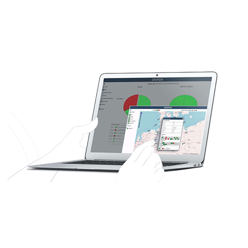
    GNSMART2 is the best solution for high accuracy real-time positioning without hardware restrictions.

    What is the GNSMART ?
    GNSMART2 (GNSS State Monitoring And Representation Technique) is a software that enables the consistent and seamless estimation of GNSS errors (rigorous solution) and provides both OSR and SSR corrections.
    The data transmitted by GNSS technology allows high resolution observations but remains affected by many errors (satellite errors, orbit errors…). The GNSMART2 software allows to process these errors.
    Software Features:

    • individual configurable and transparent software structure
    • simplified and modernized visualization/interface for operators and users
    • modernized operation and user management
    • consistent and seamless estimation of GNSS errors (rigorous solution) supporting: all systems, all signals, any reference station, scalable networks, any rover providing various output formats

    GNSMART2 supports:
    more than 20 proprietary receiver interfaces (hardware independent).standardized input formats (RINEX, RTCM) and others (BINEX),heterogenous networks, international RTCM standard: RTCM3, FKP, Non-Physical Reference Stations, MAC, RTCM3-MSM
    open formats: SSRZ, SAPA, Compact SSR, …

  • GIS Software for Windows 10 devices
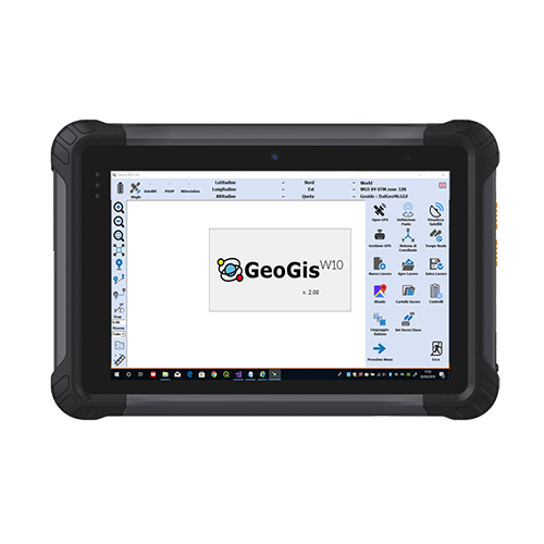
    GeoGisW10 is a software for topographic survey dedicated to GIS (Geographic Information Systems) applications.
    The ideal operating environment is a Windows 10 Tablet with GPS, camera, modem for a data SIM and a Bluetooth system to allow connection to all Stonex GNSS receivers.
    It allows topographic precision surveying using connection to networks that offer RTK service, or rapid survey with metric/decimal accuracy.
    Creating a survey file now it is simple, that allows data post-processing for better accuracy.
    For every survey, descriptive information may be associated with the elements detected according to a database structure created by the user and/or one or more photographs.
    The application allows a fly-over on georeferenced raster images or downloaded by Google in real time.

    Topographic operations are summarized as:

    • Topographic precision survey with RTK connection via SIM card or with the external GPS if this available
    • Quick survey of metric/decimetric precision
    • Survey of points, lines, areas and paths
    • Stakeout of points detected or imported from files containing the coordinates
    • Setting the most used reference systems and geoids in the world or localization in the field
    • Tracking of graphically defined lines (bathymetry or similar operations)

    Export / Import of data in the most used formats in topographic surveys/GIS (eg Shape file).GIS users are usually involved in data collection and applications but they are less familiar with methodologies and acronyms typical of GPS systems.This is why GeoGisW10 offers to the user very clear and simple menus and an arrangement of survey functions with intuitive terminologies.

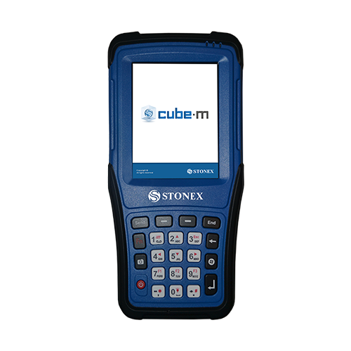
  • Cube-m is the solution for RTK surveying, stakeout, control and mapping, based on Windows Mobile platform. The software is perfectly integrated with the instruments, ensuring productivity and flexibility in the field. The user friendly menu allows the operator to work very quickly using a stylus pen, the external keyboard or by finger tapping. Cube-m is compatible with the Stonex S4II controllers and with the Stonex S7G handheld.

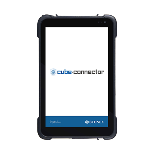
  • This is Android APP and it has been developed to connect Android devices to Stonex GPS receivers. In order to be connected to the GPS, the Android Smartphone / Tablet must be paired with the GPS by Bluetooth. Once the Bluetooth connection has been established, Cube-connector will replace the GPS readings from the internal device with the ones from the Stonex GPS receiver.
    In this way the customer can use his software for GIS / Survey in Android OS.

  • DESCRIPTION

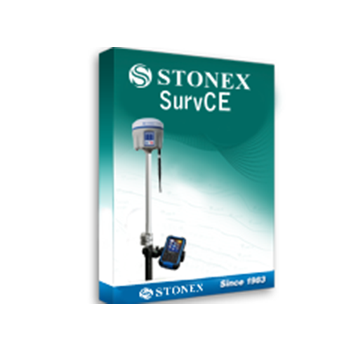
    Any Survey work has never been so safe and accurate before the introduction of STONEX S10 used with SurvCE: every point is stored only if the receiver is exactly in the vertical position, no positioning error can accidentally be stored!

    Ask to your local STONEX Authorized Dealer for STONEX SurvCE and for the complete suite of Carlson CE licenses for Total Station, Robotic and mechanical, Road stake out and non Stonex GPS.

    SurvCE is available in more than two dozen languages. These include: English, Spanish, French, Canadian French, Portuguese, Czech, Dutch, simplified Chinese, Korean, Greek, Italian, Polish, Hungarian, Swedish, Latvian and more.

  • Windows Software

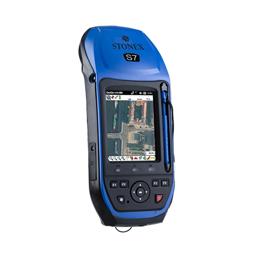
    Stonex GeoGis is a powerful yet simple software solution for the collection of high quality feature and position data for GIS update and maintenance. GeoGis software provides simple and efficient workflows to capture high quality data quickly and easily. GeoGis is an option that can be embedded into handheld GIS systems. GeoGis is developed for Windows Mobile.

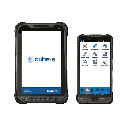
  • Cube-a is the Stonex surveying and mapping software designed and developed for Android platform.
    Thanks to the flexibility of the Android environment, we have been able to create a simple and intuitive user interface that makes surveyors ready for any work, saving time and increasing productivity.
    Full support for touch gestures and the possibility to install it on Smartphones and Tablets are the keys to the success of Cube-a.
    It also includes support for many languages and adjusts it’s interface as from the current system language setting.
    Cube-a is available in three versions: Cube-a for GNSS, Cube-a for GNSS+GIS and Cube-a for mechanical and robotic Total Stations.

    Windows Software
    Stonex GeoGis is a powerful yet simple software solution for the collection of high quality feature and position data for GIS update and maintenance. GeoGis software provides simple and efficient workflows to capture high quality data quickly and easily. GeoGis is an option that can be embedded into handheld GIS systems.
    GeoGis is developed for Windows Mobile.

    DESCRIPTION
    GeoGis software consists of two integrated modules: GeoGis Mobile for the field work and GeoGis Office for desktop elaboration. With GeoGis you never have to worry about which application to use to manage and transfer your data. With GeoGis software the workflow is straight and simple, from the field to the office and vice versa.
    Stonex GeoGis software makes the field data collection fast and easy to do thanks to a full set of field-designed features, such as graphical map display, clear icon toolbar and useful calculation tools. Stonex GeoGis software also makes it easy to incorporate digital photos into the data collection workflow using an handheld with integrated digital camera. Field workers can take and preview photos, attaching them to the features and create complete set of data for many different purposes.
    With Stonex GeoGis software you can create custom data attributes and use them to assign values to the assets. Data forms can be pre-compiled basing on previously entered attribute values for maximum data collection efficiency.
    Assets can be viewed on the intuitive graphical display, overlapped with raster and vector backgrounds, resulting in increased productivity and creating a more dynamic field worker experience. Thanks to cellular and Wi-Fi capability GeoGis software can display online maps such as Google Maps, expanding the ability to find visual reference points anywhere on the planet. To inspect an asset, field workers can select the corresponding feature from the list or map, and the intuitive navigation tool of the GeoGis software will guide them to the asset’s precise location.

    With Stonex GeoGis software, you can collect data with the required level of accuracy, either in real time or after postprocessing. Stonex GeoGis software is the right solution for collecting and maintaining high quality GIS data.
    Geogis is available in the following languages: English, Spanish, Czech, Italian, Hungarian, German, Portuguese, Russian and Uzbek ( Turkish in progress).

  • Handheld Laser distance meter easy to use

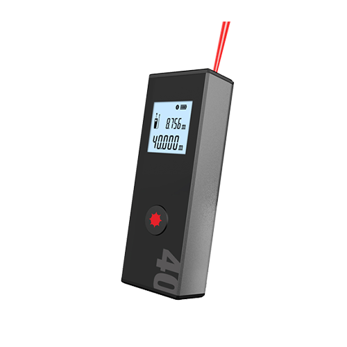
    Stonex M1 is a small and very easy to use Bluetooth Laser Distance meter.
    The aluminium alloy housing makes Stonex M1 resistant to the harshest jobsite condition. Thanks to the adaptive 1.4 inches B&W display readings during day and night become easy and friendly.
    Never ending work with the long life lithium battery. M1 can communicate with Stonex Cube-a and other software with the built in Bluetooth module making the work more efficient and effective.

  • RELIABILITY AND RUGGEDNESS

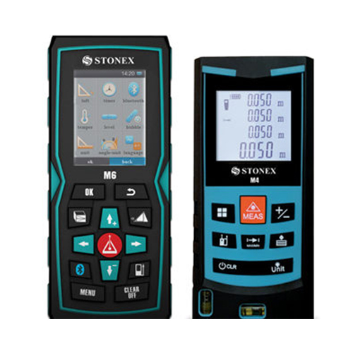
    Stonex M4 & M6 are strongly protected against dust and splash water: M4 is IP54 certified while the IP65 grade of M6 guarantees a safe outdoor use of the unit, even under bad weather conditions.

    UNIVERSAL END-PIECE

    Stonex M4 & M6 are equipped with an universal flip-out end-piece that allows to measure in all possible conditions, even from edges or corners.
    The ‘zero measurement point’ can be set in several modes (top/bottom/end-piece); moreover, on M6 the zero point can be set matching the position of the tripod, when in use.

    LI-ION BATTERY, BLUETOOTH®, ICONS DISPLAY…

    … are just a short list of the advanced features of the new Stonex M6 Laser Distance meter: ask your local Stonex Dealer for a complete demonstration.

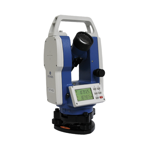
  • Stonex 2” Electronic high accuracy Theodolite

    STT402L offers the opportunity to challenge high-precision monitoring and engineering works. Thanks to its absolute encoder, angle measurements are saved when STT402L is switched off. Low power consumption gives more than 80 hours working time. Unlike other instruments that use only AA battery, STT402L offers the options to use the Li-Ion rechargeable battery or standard AA battery. The dual axis compensator with 1” accuracy ensures reliable measurements on every kind of terrain.
    In addition, the large ergonomic keypad and the backlit LCD display allows the Surveyor to be extremely productive in the field works. Also the reticle is illuminated permitting to work inside tunnels and buildings. By pressing one key STT402L converts vertical angles to percent of grade, locks the horizontal angle, resets the horizontal angle to zero offering the possibility to reposition or repeat a measurement.
    The continuously reading program with average calculations gives a 100% error free reading on both the circles. Stonex STT402L comes with a complete set of accessories including the carrying case, battery and charger, adjusting tools.

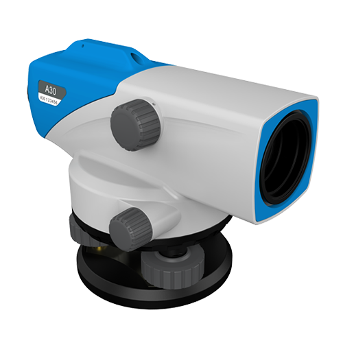
  • Auto Level with the highest performances for easy measurements in any construction and survey applications. Stonex brings the benefits of Auto Level to construction applications at an affordable price with the reliable, easy-to-use A30 Auto Level. The Stonex A30 Auto Level minimizes human error and maximizes the ease of levelling work, allowing increased productivity and performance. In few seconds height difference and distance can be measured. A30 guarantees high accuracy with ±1.5mm standard deviation of 1km round-trip leveling measurement. The compensator of the Stonex A30 has minimal thermal expansion coefficient, providing unmatched durability and accuracy. Error reducing functions, such as the tilt sensor prevent the system from measuring if the user operates outside the compensator range. Multiple reading for horizontal angles available ( 1° or 1gon ). Any angle can be read thanks to the free rotation characteristics. The Stonex A30 Auto Level is the perfect instrument for your daily levelling tasks.
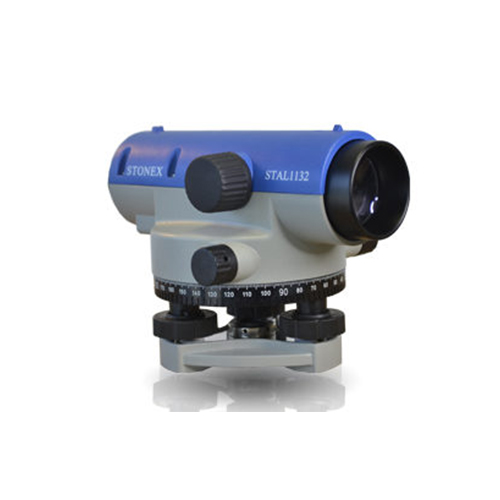
  • DESCRIPTION The new, redesigned optic, is so bright that let you use the new STAL autolevels even in low-light conditions, thanks to the wide objective aperture (40 mm). STAL 1100 are available with 28X and 32X telescope, and give accuracy from 2mm/Km to 1.5 mm/Km. STAL 1000, with the same telescope magnifications, thanks to the high accuracy automatic air damping compensator,  features higher accuracy, up to 1.0 mm/Km on a double run leveling (STAL 1032). STAL 1100 offer minimum focusing down to 0.4 m for better performance in tight spots or on steep slopes. Key Features: A wide range of models, from 2 to 1mm/Km accuracy. The best value for money of the market Horizontal knobs with unlimited range; DEG and GON circle available Compact and light weight, water-resistant construction Magnetic-dampened automatic compensator Rugged design
  • DESCRIPTION

    To use together with a barcoded stadia for high precision measurements, the Digital Level D2 provides an height accuracy of 0,7mm/Km. This makes the D2 an ideal level not only for high order levelling but also deformation measurements and precise surveying, as well as general construction. The onboard adjustment program, height difference calculator, inverse staff measuring mode, in combination with various measuring configurations enable you to execute all calculation.

    Key Features:

    • The internal memory can store up to 2000 measures (points) that can be downloaded on a computer by an RS232 serial port
    • Easy to transport
    • Water and dust protected and allow long operation on field (about 16 hours).
    • The right solution for measure gradients or height precision GPS systems


  • DESCRIPTION

    Error free measurements improve the quality of your field works
    The fully automatic measuring ability and digital display excludes any reading errors and other possible human-made errors. Combined to the the increased productivity, up to 50% compared to the performances of a traditional optical level, with all leveling work carried out automatically, will greatly improve your professionality and profits.

    Fast, friendly, smart
    You’re only required to get the bubble within the black circle on the bubble vial, from there the STONEX D1 automatic compensator takes over and precisely levels itself. Just press the Easy one-touch operation key, and get instantly ΔH and HD, displayed on the LCD display. Using STONEX D1 as distance meter you can get measurements up to 80 m. STONEX D1 features the IP54 certification, it means safe works even in harsh weather conditions. The onboard adjustment program, height difference calculation, inverse staff measuring mode and error checking enable the user to execute the complete calculations set directly in the field.

  • High Precision TOTAL STATION.

    Now with Endless Friction Drives and Trigger Key
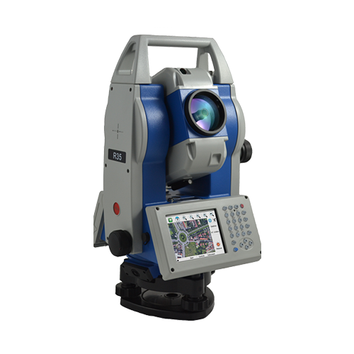
    Stonex R35/R35LR series is the most customizable Total Station of the market. Depending on the User needs, R35/R35LR comes with endless friction drives for continuous horizontal and vertical rotations, 2” accuracy and 600/1000 m reflectorless range.
    This advanced Total Station is fully customizable: each user can choose the software that best suits own needs. Several onboard software to be choosen, such as Microsurvey FieldGenius, Carlson SurvCE, ANTAS Mobile and many Custom field applications.
    In addition the TFT 320×240 touch screen display on both sides gives the Surveyor a clear, colourful and fully graphical environment, and the user friendly on board software supports the users with guided through functions for data collection, topographic surveys, staking out.
    The high-precision class 3 EDM featuring millimeter accuracy even on long range distances, and the absolute encoders performing high precision angles measurements, provide reliable points calculation in every condition.

  • High Precision TOTAL STATION.

    Now with Endless Friction Drives and Trigger Key
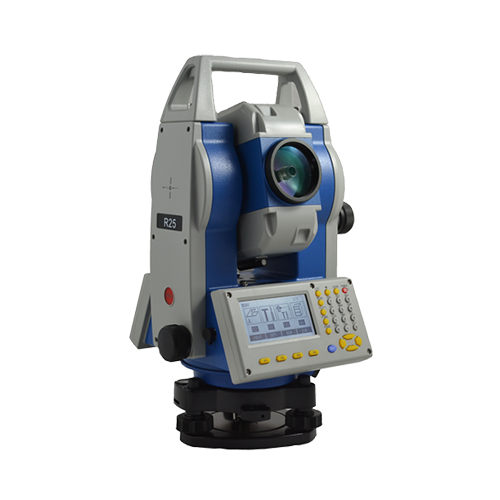
    High accuracy and long reflectorless range are the perfect combination that makes Stonex R25/R25LR the best friend of every professional surveyor.
    Cadastral, mapping, staking out, and up to high precision monitoring works: within the range of R25/R25LR Series, you will find the solution that fits your needs.
    R25/R25LR comes standard with integrated onboard field software, a complete suite of applications, and an external controllers can be linked to Stonex R25/R25LR, through the Bluetooth™ wireless connection: no limitation will stop your working process. Road software module is included as standard in each Stonex R25/R25LR.
    Stonex R25/R25LR features endless friction drives for continuous horizontal and vertical rotations: no more knobs and clamps with limited movements but a more comfortable use of the station. The trigger key on the side of the instrument allows you to start the measurement very easily.

  • High Precision TOTAL STATION.

    Now with Endless Friction Drives and Trigger Key
    High accuracy and long reflectorless range are the perfect combination that makes Stonex R2 Plus the best friend of every professional surveyor.
    Cadastral, mapping, staking out, and up to high precision monitoring works: within the range of R2 Plus Series, you will find the solution that fits your needs.
    R2 Plus comes standard with integrated onboard field software, a complete suite of applications, and an external controllers can be linked to STONEX R2 Plus, through the Bluetooth™ wireless connection: no limitation will stop your working process. Road software module is included as standard in each STONEX R2 Plus.
    Stonex R2 Plus model 2017 features endless friction drives for continuous horizontal and vertical rotations: no more knobs and clamps with limited movements but a more comfortable use of the station. The trigger key on the side of the instrument guarantees the same accuracy provided by a traditional clamp lock system.

  • The companion of every PROFESSIONAL SURVEYOR

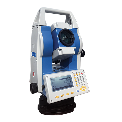
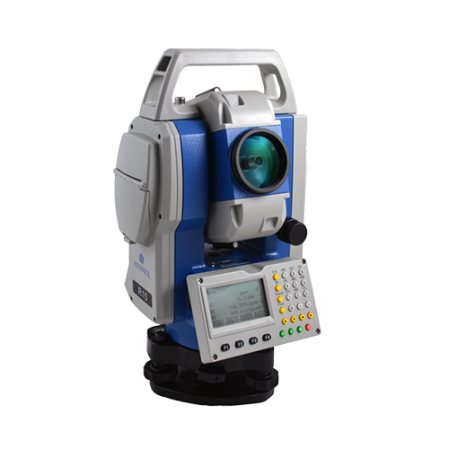
    Stonex R15 Total Station, precise distance and angles measurements, concentrated in 5 Kg of pure technology.
    The perfect tool whenever the topographic works requires a light and fast machine, all day working thanks to 24 hours of continuous operating time.
    The onboard field programs, included as standard, make R15 suitable for any construction site, cadastral, mapping and staking out, works.
    No limitation for distance measurements, up to 5000 m with a single prism 600 m reflectorless and 2” as angular accuracy, always guarantee a reliable points calculation.
    R15 has been designed to hold out against rain and dust: the IP55 certification allows to go ahead with the survey even during hard rain. The body design is distinguished by its robust mechanical structure, and the high performance telescope, featuring 30X magnification and illuminated reticle, provide the best sighting quality in any lighting condition.

  • The companion of every PROFESSIONAL SURVEYOR

    Stonex R1 Plus Total Station, precise distance and angles measurements, concentrated in 5 Kg of pure technology.
    The perfect tool whenever the topographic works requires a light and fast machine, all day working thanks to 26 hours of continuous operating time. The onboard field programs, included as standard, make R1 Plus suitable for any construction site, cadastral, mapping and staking out, works.
    No limitation for distance measurements, up to 5.000 m with a single prism – 600 m reflectorless (KGC 90%) – and 2” as angular accuracy, always guarantee a  reliable points calculation.
    R1Plus has been designed to hold out against rain and dust: the IP66 certification allows to go ahead with the survey even during hard rain. The body design is distinguished by its robust mechanical structure, and the high performance telescope, featuring 30X magnification and illuminated reticle, provide the best sighting quality in any lighting condition.

  • Powerful and usable 3D Software
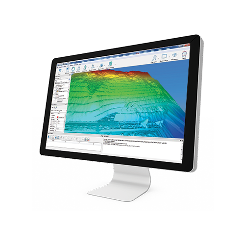
    STONEX RECONSTRUCTOR SOFTWARE will guide you trough a complete and clear workflow with expandable modules suited to your needs.

  • HIGH QUALITY COLOR CAMERA ADD-ON FOR THE F6 FAMILY

    Enhances the scanner’s ability to capture color at the most realistic quality
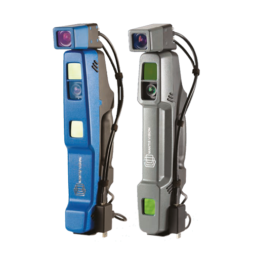
    Mantis Vision’s five MegaPixel add-on color camera enhances the scanner’s ability to capture the highest color quality and the most realistic textured meshes, compared to any other handheld 3D scanner on the market today. The add-on’s high-resolution allows the scanners to quickly achieve 3D models that are suitable for integration into any AR/VR application. With the ability to connect to any F6 scanner in minutes, the add-on can be calibrated by the user via a simple and fast process, using a rapid workflow in-line with the other components of the F6 family.
    CAMERA BENEFITS:
    • High quality texture models
    • Photorealism and Hyperrealism textures
    • Generates bump mapping
    • Operates at 15 FPS
    • Connects multi synchronized units for a dynamic scanning
    • Compatible with gaming engines – Unity and Unreal

  • Install a DSLR camera to apply high resolution images to your scans
    Calibrated camera adapter designed to obtain photorealistic scans and meshes.
    The adapter allow to install on X300 a Reflex camera and to control it automatically with the scanner, which will use it instead of the internal cameras.

  • X300 Framework for 90° tilted scanning (with Trolley Carrying Case)
    X300 Framework is a Stonex X300 Laser Scanner support accessory useful for scanning closed environments such as caves, architectural structures and tunnels, where ceilings are particularly high.
    This accessory allows the scanner to perform a full scan with a vertical field of view of 240° (the scan also covers the surrounding walls and part of the underlying surface).

    Thanks to X300 Framework it is possible now to shorten both time of work in the field and the time of post-processing, because the number of scans required is reduced.

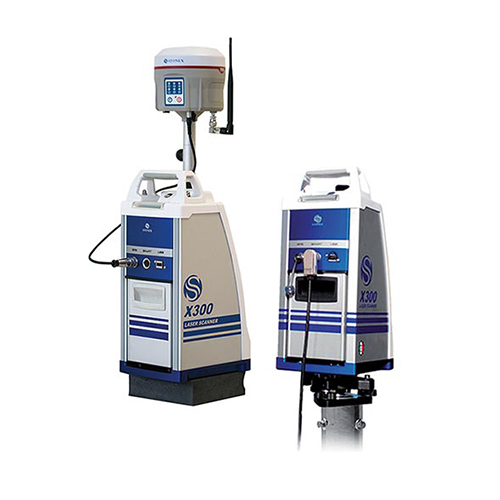
  • Laser scanners Accessories MONITORING KIT External Power Supply with Ethernet cable control. Kit designed for all kind of monitoring applications. GPS KIT Kit designed to connect the GNSS receiver to the X300 Laser Scanner. For outdoor use, the easiest way to georeference your 3D data.
  • A superb 3D volumetric handheld scanner for highly detailed scans of minimal size objects
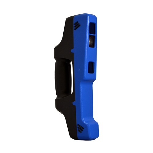
    The F6 Short Range (SR) is designed especially for accurate and fast scanning of highly detailed small objects, positioned in close proximity. Based on a patented algorithm of innovative encoding, F6 SR provides excellent quality of data, making it the ultimate choice for rapid scanning.
    The F6 SR is operated by Echo, an advanced and easy-to-use integrated software with high-end features such as:
    • Advanced scanning modes with real time feedback
    • Powerful 3D data editing tools
    • Flexible integration to 3rd party software based on Mantis Vision DLL or SDK
    • Advanced meshing with full color projection
    • Composing registration of models from different scans
    • Multiple interfaces: tablet/laptop/VR
    • User interface: touch screen/ desktop

  • Outstanding Volumetric Scanner for Field Use
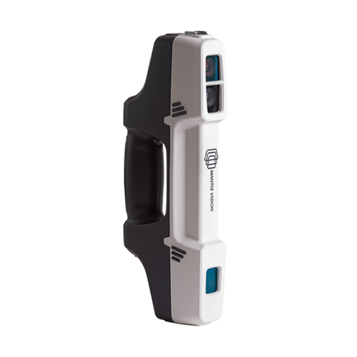
    STONEX F6 is the market leader 3D handheld scanner for fast scanning of big objects and large areas from short to far ranges.
    Based on a patent algorithm of innovative encoding F6 provides superb quality of data making it the ultimate device for scanning complex scenes within seconds.
    The F6 is operated by Echo, an advanced and easy-to-use integrated software with high-end features such as:
    Advanced scanning modes with real time feedback
    Powerful 3D data editing tools
    Data quality for controlling distances and accuracies
    Advanced meshing with full color projection

  • Simple, Tough, Accurate

    STONEX X300 is a 3D Scanner designed to deliver effective results every day, on any project. It’s ease of use, reliability, flexibility and reasonable price make it your perfect work companion.

  • 10.1” Full Rugged Tablet Rugged by nature, the UT series by UniStrong thrives in harsh operating environments. The UT50 is built to handle heavy work load over an extended period of time. It is designed to be drop resistant at heights of 1.2m with an IP68 protection rating and certified to MIL-STD. With 128GB SSD, 2x hot swappable batteries and wet hands/gloves operation, you can work all day without hassle and fear of losing data.
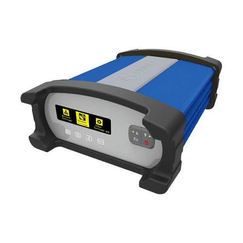
  • GNSS Reference Station

    STONEX technology for GNSS reference stations and networks continues to evolve, meeting rapidly changing GNSS technology demands.
    STONEX C.O.R.S. stations (Continuously Operating Reference Station) are
    flexible and adaptable reference server that offer multiple solutions for multiple needs. STONEX C.O.R.S. stations meet the highest demands for reliability and work in the toughest environments.