Cube-link is a free version of Cube-manager for downloading data from GNSS and Total Station to personal computers.
The downloaded data can be displayed graphically and analytically. The operator has simple COGO commands for measuring distances, areas, and perimeters.
Importing and exporting data are supported in various formats such as DXF and CSV, as well as Stonex data formats.
-
-
Cube-manager
Cube-manager has been developed to work on desktop computers running Microsoft Windows and it implements the tools to download, to manage and to process the data acquired with one of the mobile solutions.
Using this software, you can integrate mixed GNSS RTK and Total Station data, process Raw GNSS data in different ways, import and export the data from and to the most popular known formats.
This software will help operators providing the best functions for data transferring, graphical visualization and analytical data processing.
The software is composed of various optional modules and a free version (Cube-link).
Cube-manager is a software for managing data from GNSS
receivers and Total Stations, it is composed of 3 main modules (P, T, M), each one specialized in a series of functions. Among the functions shared by all the modules, you can have plano-altimetric elaborations, generate 3D models and calculate contour lines.
The measurements can be displayed in 2D, 3D and superimposed on raster, satellite or cadastral images. Through a sophisticated internal CAD, you can interact with the data using powerful and complete drawing tools and snap functions, even in 3D. Importing and exporting data are supported in various formats such as DXF, DWG, KML, CSV and others. -
Software for GNSS Network
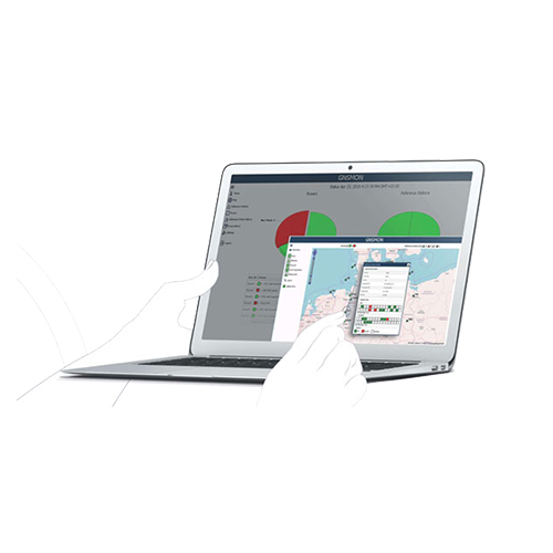
GNSMART2 is the best solution for high accuracy real-time positioning without hardware restrictions.What is the GNSMART ?
GNSMART2 (GNSS State Monitoring And Representation Technique) is a software that enables the consistent and seamless estimation of GNSS errors (rigorous solution) and provides both OSR and SSR corrections.
The data transmitted by GNSS technology allows high resolution observations but remains affected by many errors (satellite errors, orbit errors…). The GNSMART2 software allows to process these errors.
Software Features:- individual configurable and transparent software structure
- simplified and modernized visualization/interface for operators and users
- modernized operation and user management
- consistent and seamless estimation of GNSS errors (rigorous solution) supporting: all systems, all signals, any reference station, scalable networks, any rover providing various output formats
GNSMART2 supports:
more than 20 proprietary receiver interfaces (hardware independent).standardized input formats (RINEX, RTCM) and others (BINEX),heterogenous networks, international RTCM standard: RTCM3, FKP, Non-Physical Reference Stations, MAC, RTCM3-MSM
open formats: SSRZ, SAPA, Compact SSR, … -
Software Office Solutions
Entirely designed and developed by the Stonex R & D department, Ntrip-caster is the ideal software for GNSS NTRIP network management.DESCRIPTION
It’s perfect integration with the SC200 makes Ntrip-caster the essential tool for everyday’s work. Ntrip-caster gives the user an intuitive and powerful interface. It is an excellent server program to manage CORS stations in an autonomous and independent way; to transmit a single-base correction to multiple rover users, to manage them simultaneously and at any time in a reliable and efficient way.
Ntrip-caster offers the opportunity to the network administrator to monitor and limit users’ access in real time. Combining with SC200 CORS the software allows users to download data through FTP server, to create a new network or to strengthen an existing one.